closegps_fixed
Error 404: Page Not Found
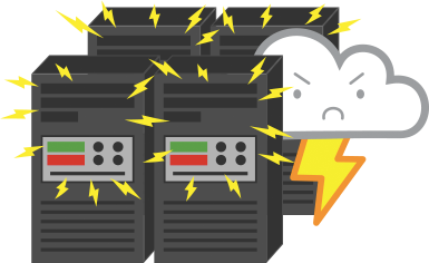
Either Brutus is in the server room or it might be that:
- The page you requested does not exist. Please check the URL .
If this problem persists, Please Contact Us.
To get to where you were before, Go Back.
Here's some other cool stuff to check out